
Case Study
Planning success for replacement caravan in Eryri National Park
How Baileys and Partners used appeal research and property evidence to resolve a replacement caravan planning enforcement case in Eryri.
September 2026
Insights
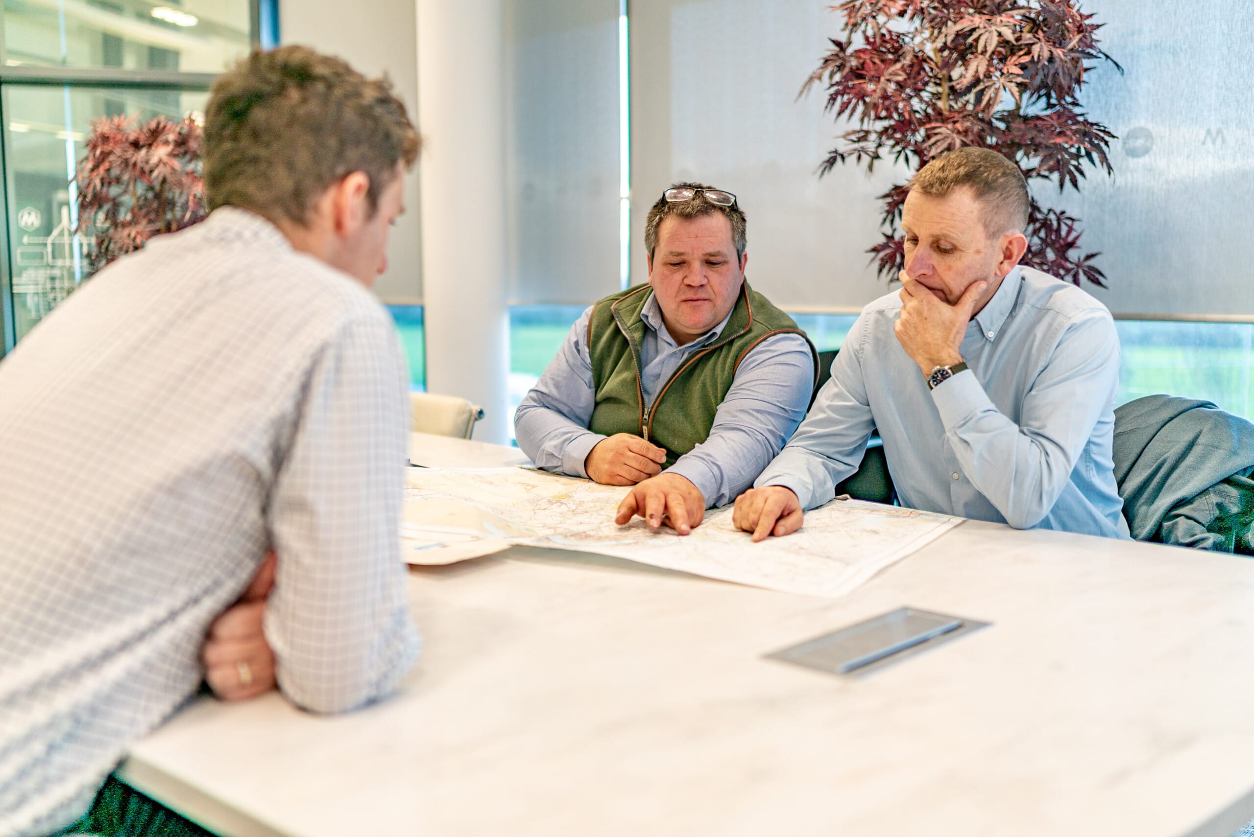

Boundary disputes are something I come across regularly as a RICS Chartered Surveyor working in rural surveying and land dispute resolution, and are an area in which I specialise. They can start with something as simple as replacing an old fence or hedge and, before long, two neighbours can have very different views about where the boundary actually lies. A common reaction is: “Well, the Land Registry plan shows the boundary there.”
Unfortunately, it is rarely quite that simple. Most Land Registry title plans work on what is known as the general boundaries rule. Under Section 60 of the Land Registration Act 2002, the boundary shown on the registered title does not normally determine the exact position of the legal boundary.
In other words, the red line on the Land Registry plan is generally indicative – it should not automatically be treated as a precise line that can simply be measured and marked out on the ground.
This is particularly relevant with rural property, where boundaries might consist of old hedges, banks, ditches, walls and fences which have been in place for generations. When looking at a boundary dispute, the title plan is therefore only part of the picture. Historic deeds and conveyances, old plans, aerial photographs and land mapping can all be useful. Equally important is getting out on site and looking at the physical evidence on the ground.
Often, no single piece of evidence provides the answer. It is a case of putting the various pieces of the jigsaw together to understand where the legal boundary was originally intended to be.
I also use GNSS surveying equipment when investigating boundary matters. This land mapping and surveying equipment allows us to accurately survey and record relevant physical features and other information relating to the boundary. Once the position of a boundary has been agreed or determined, the same equipment can be used to accurately demarcate the agreed boundary line on the ground.
My advice is always to deal with uncertainty early. Before moving a fence, removing an old boundary feature or allowing a disagreement to escalate, take some time to establish what evidence is available.
After all, a relatively small strip of land can become remarkably expensive once a disagreement between neighbours turns into a full land boundary dispute.
And remember, the red line on the Land Registry plan isn’t necessarily the final word.
I specialise in boundary and land dispute resolution, so if you find yourself involved in a boundary dispute, or would simply like advice about the position of a land or property boundary, please feel free to contact me to discuss the matter: tom@baileysandpartners.co.uk or mobile: 07538 039889
Insights